The geodata interface for INA
The Geodata Interface (GDI) was developed for the INA intervention application, which is used daily by various fire zones in Belgium. The tool puts emergency services in full control of their geodata and map layers within INA, perfectly aligning with what they truly need in the field.
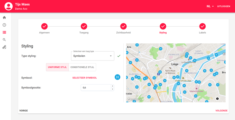
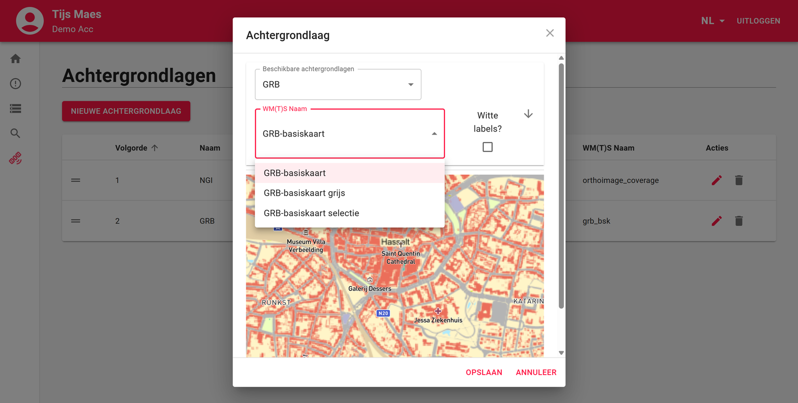
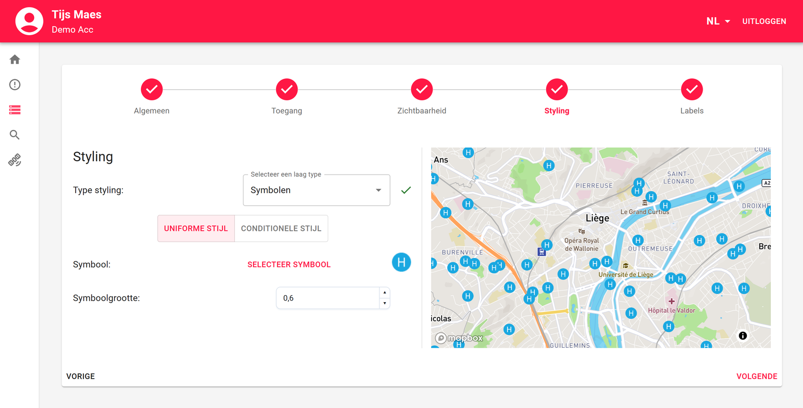
With the GDI, zones can manage their map layers entirely on their own: adding, editing, or removing layers can be done immediately, without interference from Nazka. They can set their own styling, labelling, attributes, and determine when layers should be automatically active. The GDI supports a wide range of data sources and standards, such as ArcGIS Server services, GeoJSON files, WMS services, and more. Thanks to a clear step-by-step flow per data type and a live preview map, working with geodata becomes straightforward and error-free.
The GDI not only increases autonomy but also speeds up the availability of critical information during interventions. This aligns perfectly with Nazka’s vision of smart, accessible geo-solutions that empower users. In a world where up-to-date spatial information makes all the difference, this directly translates into greater operational effectiveness in the field.