HomeExpertiseInnovation and Technology

Innovation is in our DNA

Our interest in geo-technology and innovation extends to our projects and collaborations, which allows us to stay state-of-the-art.

Remote sensing
We process and analyze satellite images and other sensor data into web-ready geo-products. Are you looking for a partner for a performant integration of your earth observation layers in a web viewer, smart AO-based data visualizations, or custom-made web tools for processing and interpreting images? Then you’ve come to the right place with us.
Analysis and engineering
Our web developers, geographers, and engineers reinforce each other from their own discipline. That’s why we like to work together with engineering firms, research institutions, and universities on complex challenges that we then translate into an appropriate user experience. Our scientific background helps us to interpret the data and models correctly and to visualize them in a correct way.
Innovation and R&D
The geo-sector is constantly on the move. We work with the latest technologies for geodata visualization and data processing. Through Flemish and European research projects, we keep our finger on the pulse and keep our technology stack and applications state-of-the-art.

Research and development

Nazka excels in research and development projects, with extensive experience leading or partnering in EC Horizon, Vlaio, or ESA projects. We specialize primarily in the following themes and areas of expertise:
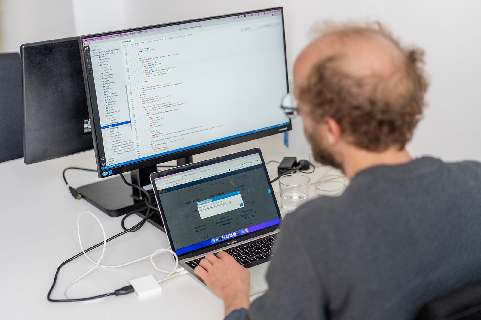
  • Co-creation with users to arrive at the desired user interface for complex new needs related to data visualization and geodata modeling through wireframing and mockuping.
  • Developing prototypes for proof of concept in a variety of areas, such as windmill farm location, thermal heat extraction, urban heat islands, water quality monitoring, land cover classification based on remote sensing, etc..
  • Communicating and disseminating geographic information through a range of web tools, applications, and APIs.
  • Developing go-to-market strategies for new standalone geo-services or products.
  • Innovating in the areas of map visualization and geodata processing.

Technology stack

Our map applications are entirely based on web technology, providing much higher performance, ease of use, and scalability compared to traditional GIS viewers and geolocators. Our solutions work seamlessly on any device with any screen size. We also have expertise in various mapping libraries, base maps, and background layers, including Leaflet, Mapbox, Google Maps, Maplibre, and others. Additionally, we can visualize all kinds of geodata from different sources such as GeoJSON, web services, Titiler, MongoDB, ArcGIS Server, Elastic Search (OpenSearch), WMS/TFS/TMS, GeoServer, and more.
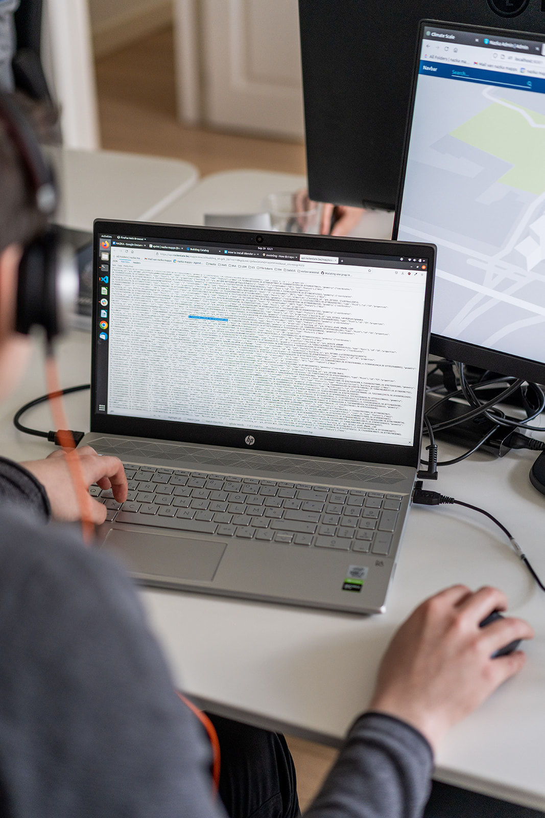
Our team uses various web technologies, such as React, Node.js, Express, Webpack, Stylus, GDAL, Nginx, Docker, Redux, and more, to create powerful and efficient map applications.
The stack we offer has several distinct advantages:


  • The use of a single programming language (JavaScript) throughout all components, including both back-end and front-end environments.
  • Seamless integration and compatibility with various technologies and libraries.
  • High performance capabilities for both web and mobile environments.
  • Easy scalability through horizontal scaling techniques.
  • Capable of handling large volumes of data.
  • Built with reliable open-source technologies for transparency and robustness.
  • Equipped with multiple layers of security to ensure GDPR compliance and overall security.
  • Proactively monitored and backed up with reliable solutions.