At Nazka Mapps, we believe maps can do more than just show locations. They can inform decisions, reveal hidden insights, and inspire action. Every map we create is designed with purpose — tailored to your goals, accessible to your audience, and built to make complex data clear and meaningful.
Our mission is simple: to turn geodata into maps that matter. Maps that people understand, trust, and can use to make better decisions — for your organisation, your audience, and society.
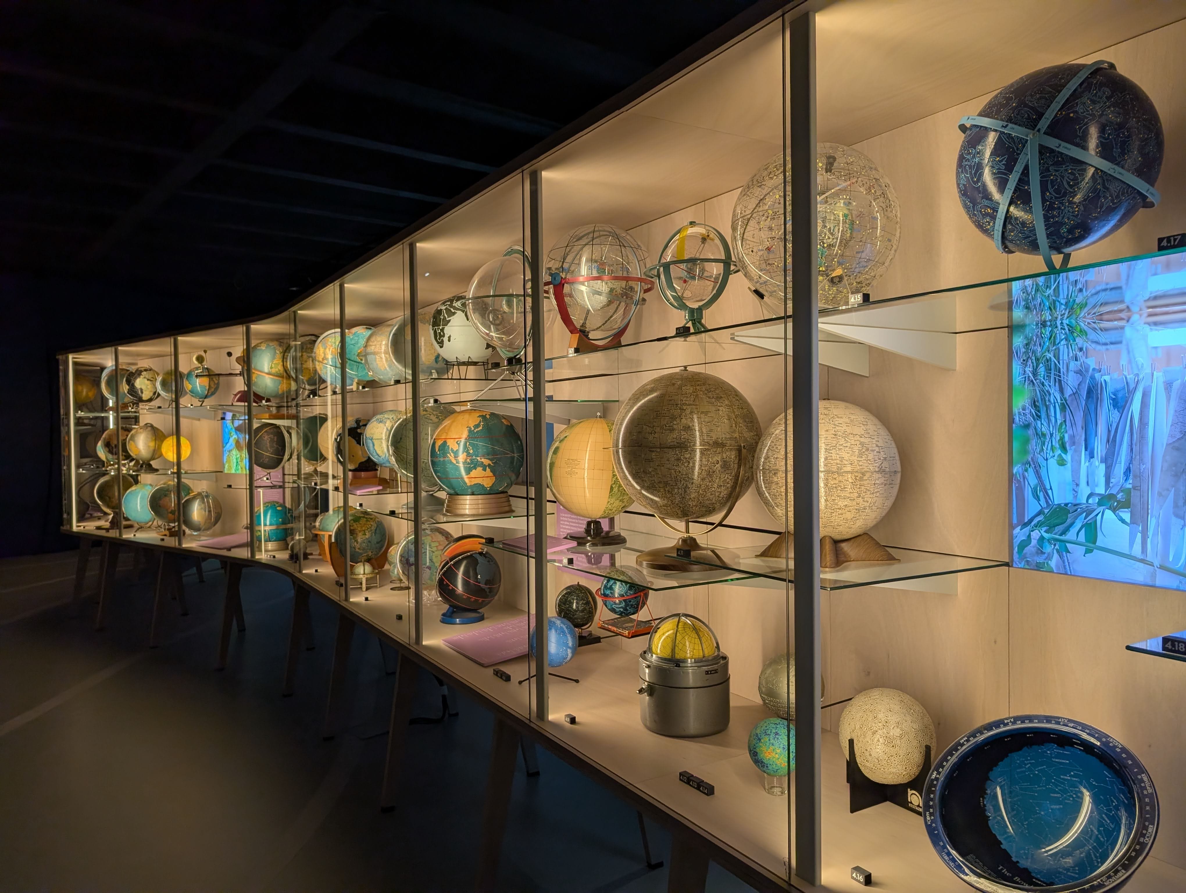
Picture taken at MAP Mercator museum in Sint-Niklaas, Belgium


